The official website of Visit Causeway Coast and Glens
En

Picture This: Portneal, Kilrea

Bann Road, Kilrea, County Londonderry, BT51 5RZ
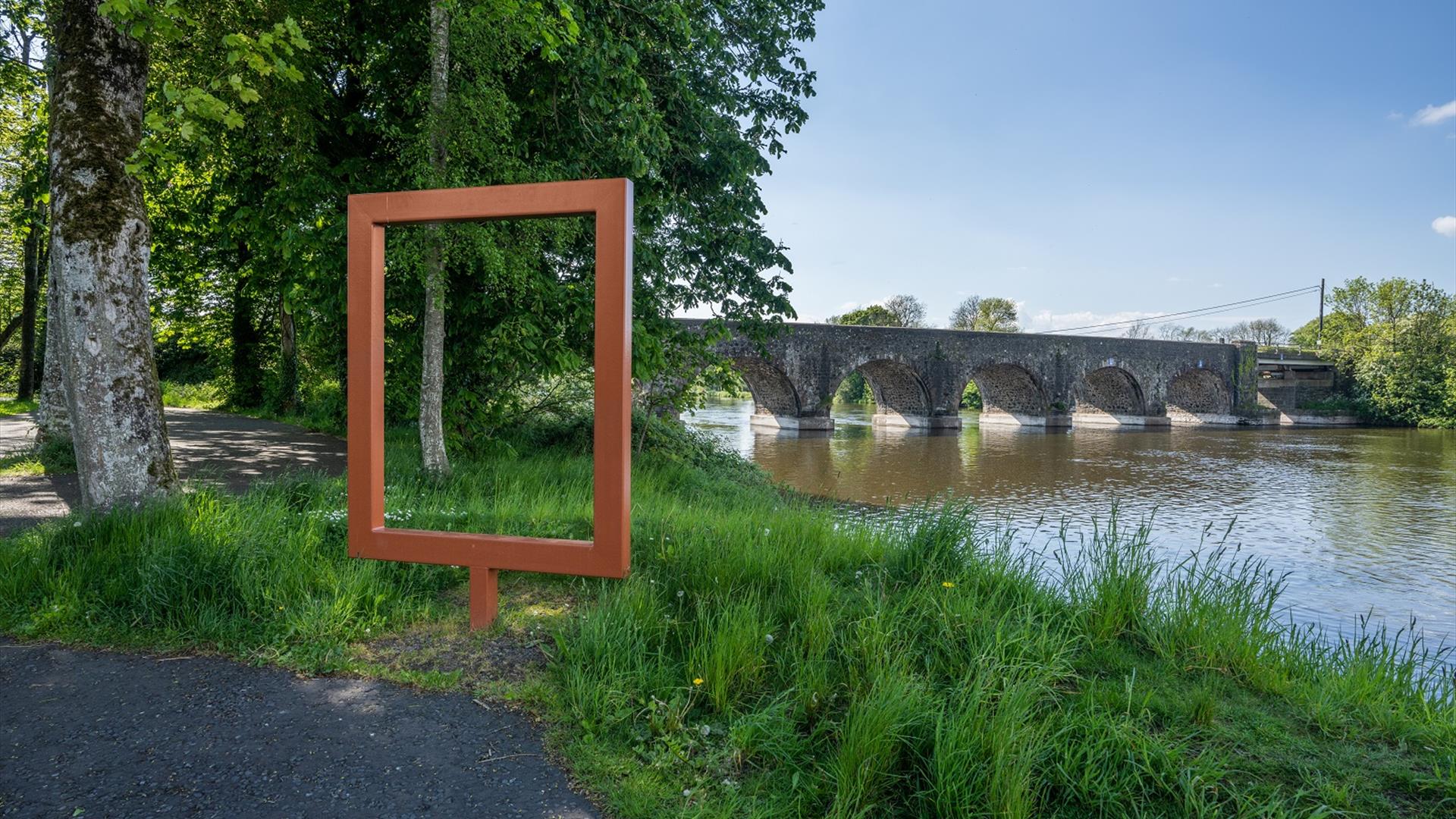
Frame at Portneal, Kilrea
  • Frame at Portneal, Kilrea
  • Frame at Portneal, Kilrea
  • Frame at Portneal, Kilrea
  • Jetty at Portneal, Kilrea
  • Aerial view of The Lake waterpark in Kilrea
  • McLaughlin's Corner, Kilrea
  • Manor House Golf Course
  • Frame at Portneal, Kilrea

Book Tickets Online

About

Welcome to Portneal, on the outskirts of the historic town of Kilrea. 

The 18th Century Bann Bridge, with its beautifully proportioned arches, spans the River Bann and marks the boundary between Counties Londonderry and Antrim. The bridge was of significant strategic importance in the years following the Plantation of Ulster, when Kilrea and the surrounding townlands were granted for settlement to London’s Worshipful Company of Mercers by King James I. 

The bridge is adjacent to more than 4 acres of mixed woodland, planted by the Forest Service on silts dredged from the riverbed. The area is home to a rich biodiversity that includes ash trees, wood anemones and Daubenton's bats. 

Today, Portneal is a popular seasonal game and coarse fishing location with beautiful riverside walks offering superb views of the bridge and a pontoon for mooring boats.  
 

Download the what3words FREE app from your app store. what3words is an easy way to identify precise locations. 

The what3words key to enter to find the frame at Portneal, Kilrea is:
///claw.rooftop.quietly

Co-ordinates:
54.957592171725075, -6.5389711518363915

Map & Directions

What's Nearby

  1. Rosepark Farm is a family run attraction spread over 70 acres, situated in the North…

    5.42 miles away
  2. A Neolithic court tomb dating from c.4000-2000BC. It is named after the Dooey family who…

    6.03 miles away
  3. Nestling on the edge of Garvagh forest, Garvagh Museum is one of the region’s best kept…

    6.15 miles away
  1. Covering 200 hectares, Garvagh forest is situated on the Western outskirts of Garvagh,…

    6.15 miles away
  2. A 200-hectare forest containing many species of trees, wildlife – and even a pyramid…

    6.19 miles away
  3. In this beautiful setting visitors have time to reflect on the unprecedented achievements…

    7.66 miles away
  4. A pleasant urban 40-acre Park in the heart of Ballymoney Town, in which to enjoy a…

    7.82 miles away
  5. This burial ground is the site of the ruins of the old parish church which was completed…

    7.91 miles away
  6. A striking local landmark, the church tower is the oldest structure in Ballymoney. An…

    7.91 miles away
  7. From the Mesolithic to Motorcycles, through rebellion and war, politics, industry, sport…

    7.91 miles away
  8. Ballymoney’s Arts, Museum and Visitor Information Centre is well worth a visit. This…

    7.94 miles away
  9. A megalithic tomb, dating to the Neolitic or New Stone Age (2000-4000) is found in…

    8.02 miles away
  10. Travel 3 miles west of Garvagh town and you will begin to enter Gortnamoyagh Forest,…

    8.18 miles away
  11. The Blackheath Pottery is a unique pottery and shop situated between Coleraine and…

    8.45 miles away
  12. A picturesque wooded picnic area on the banks of the Lower River Bann – with an important…

    9.88 miles away
  13. This breathtaking venue combines the opulence of 1400 acres of private grounds and lakes…

    10.6 miles away
Previous Next

Related

Manor House, Rathlin IslandBuilt in the 18th Century, this listed Georgian Manor House nestles in the shelter of Church Bay, adjacent to the harbour at the heart of Rathlin Island.

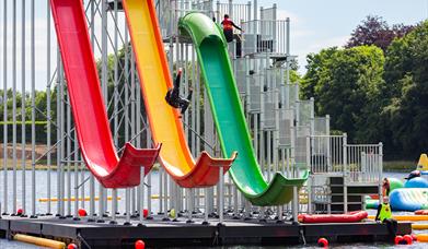
The Lake Kilrea, KilreaThe Lake Kilrea is an outdoor adventure and water park, offering a wide range of family-friendly activities including a water-based inflatable adventure park, canoeing, kayaking and stand-up paddle boarding, climbing wall and zipline.

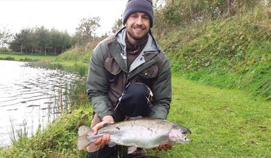
Bann Valley Fishery, BallymoneyBann Valley Trout Fishery offers quality brown and rainbow fishing in the most tranquil of settings. It is set in a quiet rural location between Ballymoney and Kilrea and is the ideal spot to get away from it all and enjoy some fly fishing.

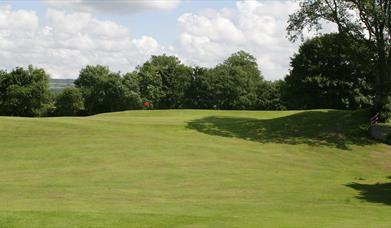
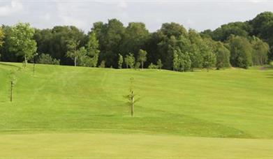
Manor Golf Club, KilreaIt is among the group of shorter courses in Ireland but makes up for it with tight fairways. It has some tricky sloping greens and astutely placed bunkers, trees, and a small lake on the 6th hole.

Kilrea Golf Club, KilreaKilrea Golf Club was founded in 1919, and is situated a half mile to the south west of the town.

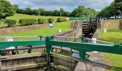
PORTNA LOCKPortna/Hutchinson's Quay Riverside Walk, Northern IrelandA pleasant 4 mile return linear riverside walk, along the western bank of the River Bann, connecting Portna locks and Hutchinson’s Quay.

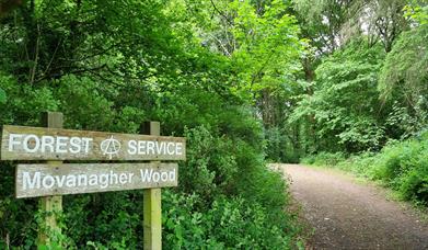
forest service signage at Movanagher WoodKilrea to Movanagher Wood, Northern IrelandLinear walk (approx. 4.5 miles return) from the Diamond in the plantation town of Kilrea, to Movanagher Wood on the bank of the River Bann.

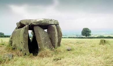
Craig's Dolem - a Stonage Age grave Craig's Wood, Northern IrelandCraigs Wood is a small wood located on the Long Mountain, accessed from Mullan Road, approx. 2 miles north east of Rasharkin.

Map & Directions

View Maps and Visitor Guides
View of what Causeway Coast and Glens has to offer and some of the best things to see and do during a visit.
E-newsletter sign up
Sign up for the Causeway Coastal Route newsletter for inspiration and travel tips.
Back to Top

Tourism Northern Ireland

Don't Miss